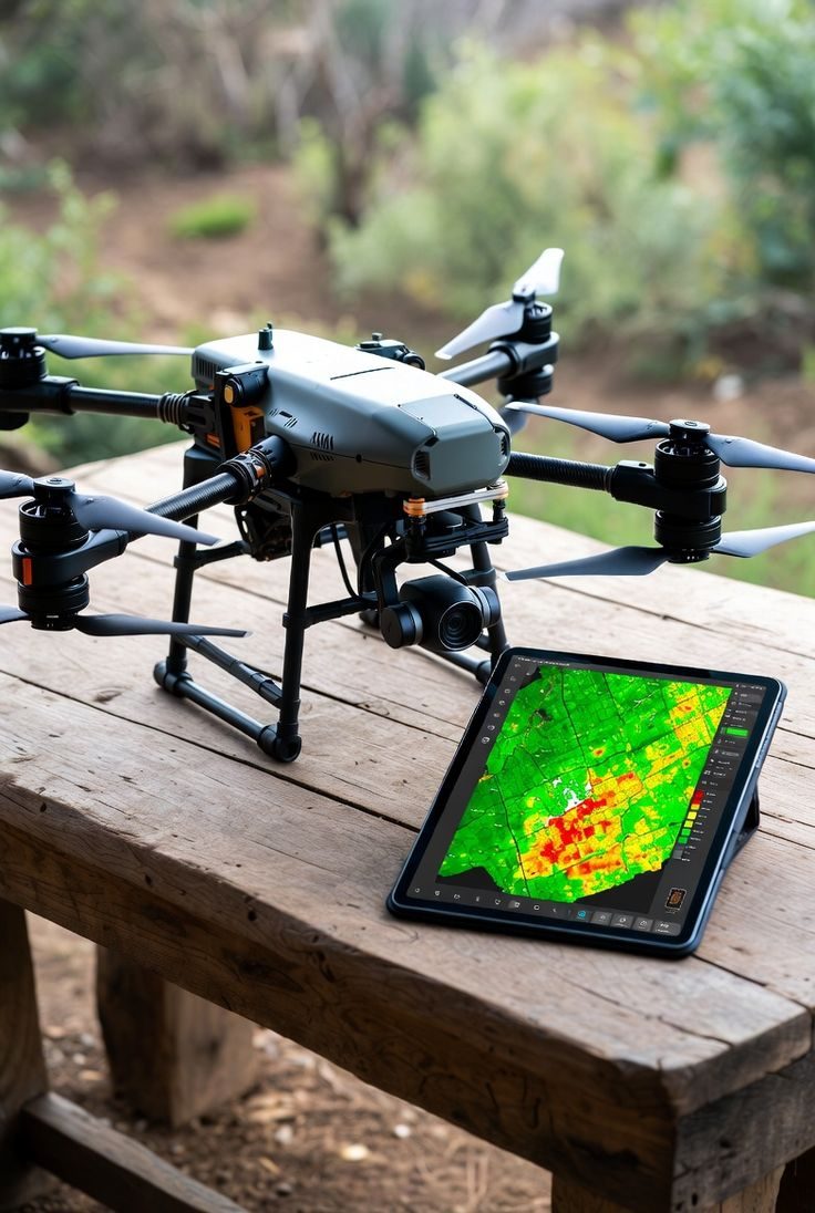
Aerial photo and video, mapping, inspections and surveillance, flown by the Bellarixnet team.
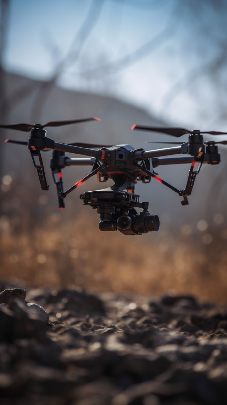
Footage of property, sites and events, for marketing, records or progress reports.
Aerial maps and surveys of land, farms, construction sites and mine sites.
Close-up checks of roofs, towers, power lines and pits, without ladders or scaffolding.
Aerial patrols and live monitoring of large or hard-to-reach areas.
We agree the area, the shots and the timing with you.
Our team flies the site and captures photos, video or survey data.
You get the footage, aerial maps or inspection images you need.
Tell us about your site and what you need: footage, a map, an inspection or surveillance.